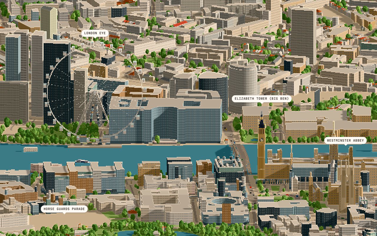
What you're looking at
Drag to orbit, scroll to zoom, and hover or click a building to see its height and floors. The sun slider moves the shadows across an October day in London, and the skyline view frames the towers of the City.
The cars, buses, Thames ferries and planes are simulated, not live. Buildings are drawn 1.6 times taller than they really are, so the skyline still reads from a distance.
The landmarks
Thirteen landmarks are hand-built models placed on their real footprints: Elizabeth Tower and Victoria Tower, Westminster Abbey, the London Eye, St Paul's Cathedral, the Shard, Tower Bridge, the White Tower, the Gherkin, the Walkie-Talkie, the Cheesegrater, the BT Tower and Battersea Power Station.
Their shapes and sizes follow published dimensions. The London Eye is scaled evenly so its wheel stays round, and St Paul's dome keeps its real proportions.
How it was made
It uses the renderer from the Brisbane pixel diorama with a new pipeline that can build any city from open map data: Overture Maps for the buildings and their heights, and OpenStreetMap for the river, parks, trees, roads, bridges and ferries. Where a building has no mapped height, it's estimated from its neighbours or its type, and its card says so.
It was built with Claude in October 2026.
The data
Buildings, streets and parks are © OpenStreetMap contributors (ODbL) and the Overture Maps Foundation. The model file is 20 MB, so give it a few seconds on a phone.