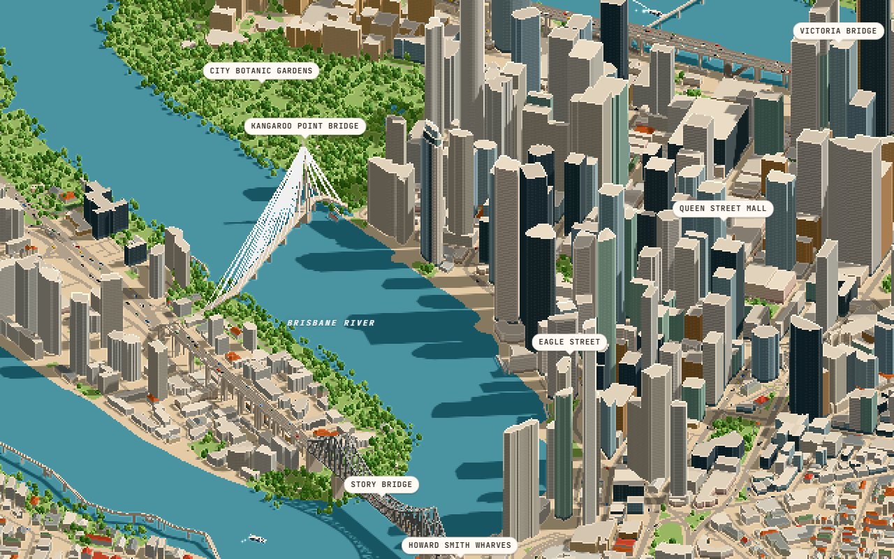
What you're looking at
Drag to orbit, scroll to zoom, and hover or click a building to see its height and floors. The sun slider moves the shadows from 6am to 5:15pm, and the photo view frames Eagle Street.
The cars, buses, CityCats and planes are simulated, not live. Buildings are drawn 1.6 times taller than they really are, so the skyline still reads from a distance.
How it was made
The model is one data file: 57,008 building footprints with heights, 272,044 trees, 14,304 road segments, the parks, the river and its bridges, all clipped to a circle 5 km around West End. three.js draws it in WebGL, and the pixel finish, labels and traffic can each be switched off.
It was built with Claude in October 2026.
The data
Buildings, streets and parks are © OpenStreetMap contributors (ODbL) and the Overture Maps Foundation. The model file is 11.4 MB, so give it a few seconds on a phone.